
Explore the Nickel Plate Trail, Strengthened by IU Health
Spanning five miles through Fishers from 96th Street to 146th Street, the Nickel Plate Trail, Strengthened by IU Health, connects the northern and southern portions of our community, weaving through neighborhoods, commercial districts, and natural landscapes, and offering access to Noblesville’s 2.7 miles of trail, as well.
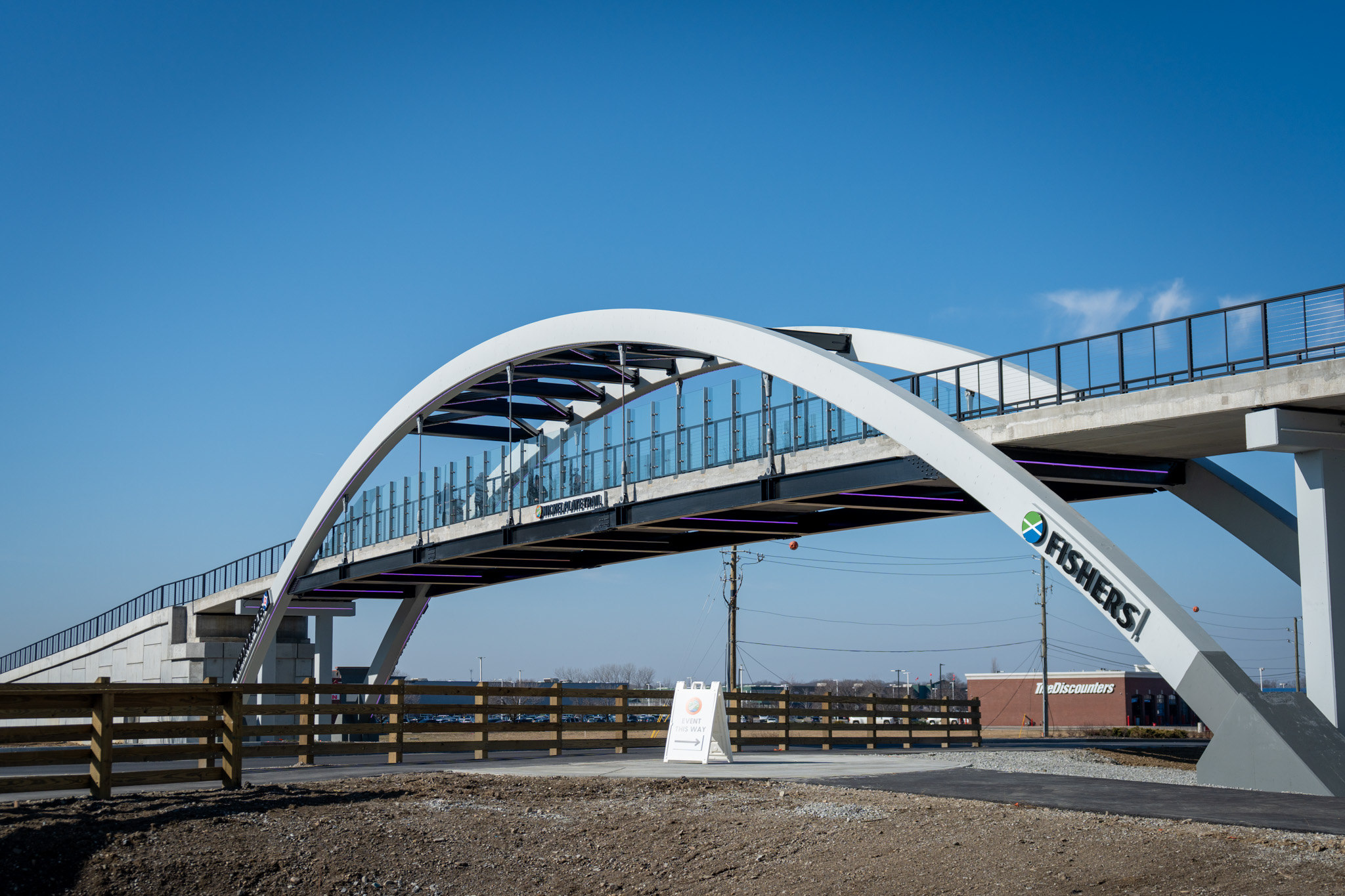
A pedestrian bridge across 96th Street offers access to the Indianapolis portion of the trail.

What’s New on the Trail
96th Street Pedestrian Bridge
The new 96th Street Bridge along the Nickel Plate Trail, Strengthened by IU Health, enhances connectivity from 96th Street to 146th Street, making it easier than ever to walk, run, or bike your way through our vibrant, connected community.
Delaware Township Nickel Plate Trail Expansion
As part of its continued investment in community amenities, Delaware Township’s new trailhead has a walking path connecting the roundabout at 131st St. to the Nickel Plate Trail, a fire pit, swing structures for all ages, a drinking fountain, and designated areas for games such as ping pong and corn hole. Learn more at delaware-township.squarespace.com.

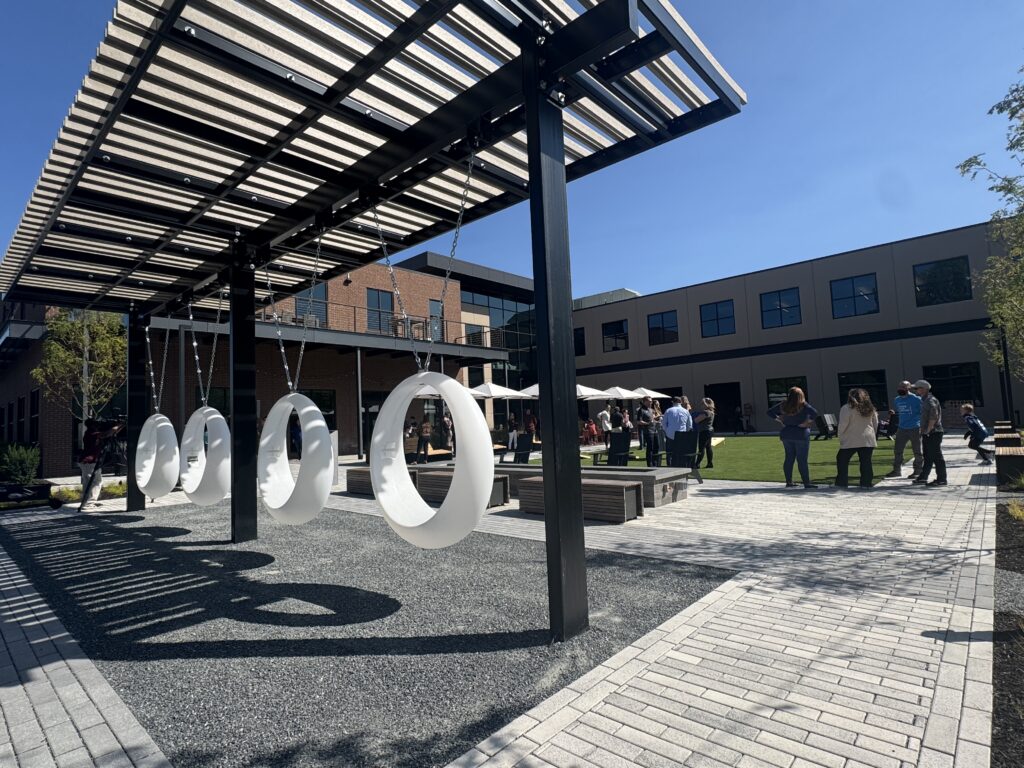
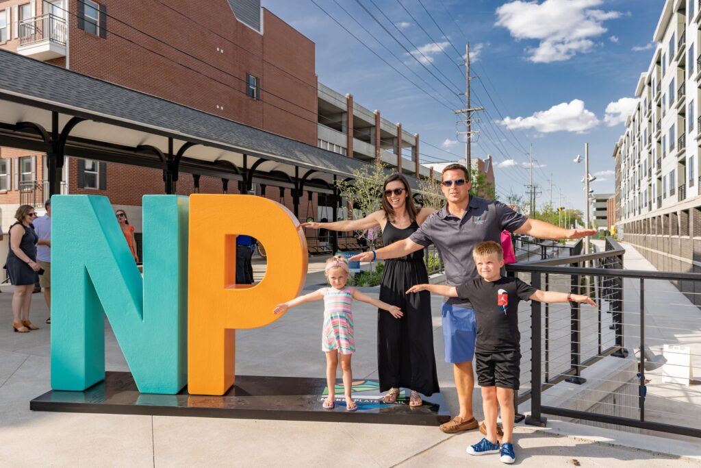
The 106 Plaza
The 106 Plaza, located at Hub & Spoke, connects residents directly to the Fishers Parks headquarters and Maker Playground, Fishers Parks’ 15,000-square-foot makerspace facility, and features a multi-use space for community gatherings and recreation with a courtyard with public seating and tables, a large communal fire pit, an open green lawn, swings, and improved trail accessibility.
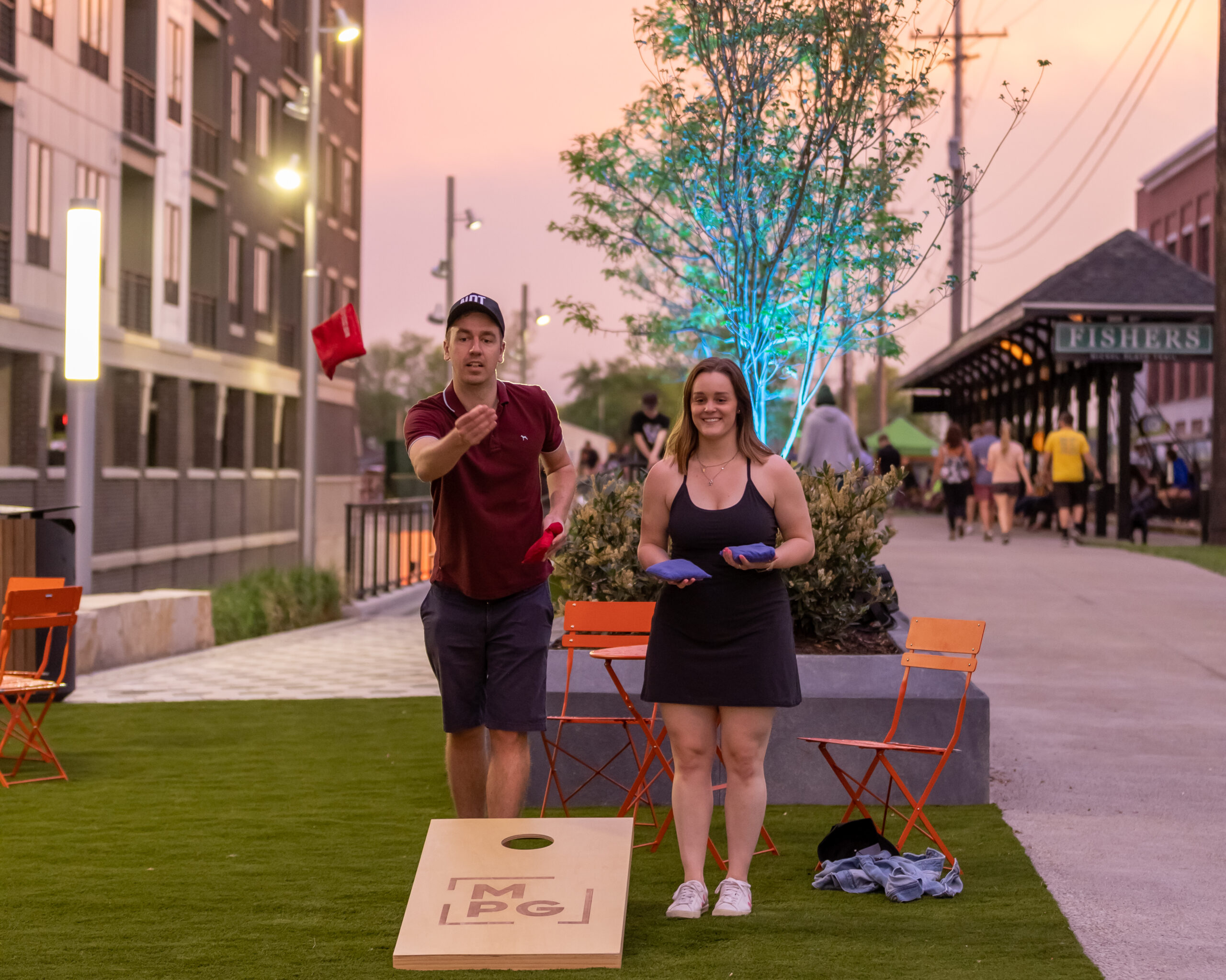
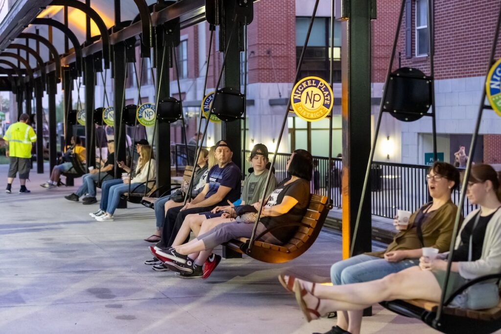
Downtown Trail Enhancements
The downtown portion of the Nickel Plate Trail continues to serve as a central hub for recreation, wellness, and connection. Recent enhancements include the Key to the City art installation, a dynamic mural and colorful overhead lighting in the 116th Street tunnel, new gathering spaces, and pop-up events that activate this urban trail corridor.

By the Community, For the Community
In 2018, we asked the community to help us turn the Nickel Plate railway into a whole new kind of public space by sharing their ideas and suggestions for the Fishers portion of the Nickel Plate Trail. Between an online suggestion box, community events, activities and think tanks, and the incredible effort by our local schools, that simple request resulted in an outpouring of support.
In 2019, the City unveiled the Nickel Plate Trail Master Plan, a long-range master plan created by the Nickel Plate Trail Master Planning Committee comprised of Fishers residents and community leaders, in collaboration with NBBJ and Ex2 Partners. Check out the Master Plan.
Trail Rules & Safety
- Use caution at trail crossings and use the signal button located at intersections to notify motorists of your presence. The flashing yellow lights at intersections along the trail warn motorists of pedestrians but does not require vehicles to stop, so proceed with caution when crossing. You can learn more about safe crossing with the video above.
- Mile markers have been installed every tenth of a mile along the trail and should be used as location markers in the event of an on-trail emergency. Trail users should dial 9-1-1 from their cell phone in the event of an emergency.
- The City of Fishers has installed rule signage along the trail to ensure the safety and wellbeing of all trail users on the multi-use path. Rules include:
- Smoking and alcohol use are not permitted while on the trail.
- The trail is open daily from dawn to dusk. The downtown core portion, from South Street to Lantern Road, will be open daily from 6 a.m. to midnight once constructed.
- Self-propelled modes of transportation are welcome on the trail. Any mode of transportation that is motorized is prohibited unless required for accessibility purposes. Horses are also prohibited.
- Stay to the right and pass on the left. Do not block the path for other trail users. When approaching from behind, communicate before passing and say, “On the left” to give others time to respond.
- Adjust speed for path conditions and other trail users. Be especially careful while passing pedestrians, children, and dogs. Always maintain safe speed and control. The downtown core of the trail has a maximum speed limit of 10 mph.
- Pets are allowed if kept under control and on a six foot or shorter leash at all times. Pick up pet waste and dispose of it in proper receptacles.
- Respect the trail environment. Do not litter, remove plants, disturb wildlife, graffiti, or damage the trail or surroundings. Stay on the trail to help reduce erosion.
- Park and access the trail from established trailheads only. Respect private property. Do not trespass or cut through adjacent properties or yards.
- Do not promote or sell commercial products on the trail unless permitted by City of Fishers.
Jump to another page in this section: